On a map of Alicante province, the proposed quiet begins behind the familiar coast: in the folds between Orihuela, San Miguel de Salinas and Pilar de la Horadada. A single local report says Sierra de Escalona and the Dehesa de Campoamor have been declared a Natural Park, putting a large piece of inland woodland and its adjoining landscapes into a different conversation from the one usually had beside Campoamor’s beaches.
The reported designation is a door into a bigger Valencian story. The region is often experienced in strips: city, beach, orange grove, motorway, apartment block. But the land between those strips does not stay empty simply because it is not on a postcard. It holds drainage lines, scrub, reservoirs, paths, nesting territory and the ordinary rural uses that have shaped its appearance over a long time.
For people based in Valencia, this is not a claim that every protected landscape must become a weekend itinerary. It is an invitation to read the wider region with more care. A natural park is, above all, a promise that some places should not be judged only by what can be built, sold or photographed there.
A park is more than a green patch on the map
According to the sole report available, the new park covers 9,004 hectares and is the 23rd Natural Park in the Comunitat Valenciana. It says the decree was approved on 11 September 2026, after 19 years without an addition to this highest tier of the regional protected-area network. The figure matters because hectares are not merely acreage: at this scale, protection can connect slopes, ravines and habitat rather than preserving an isolated viewpoint.
The same report describes a wider planning boundary of 18,066.22 hectares under the Plan de Ordenación de los Recursos Naturales, or PORN. That larger area reportedly includes buffer zones and nearby sites, while the plan is intended to take precedence over other territorial and urban-planning instruments. In plain terms, a park boundary may be the bold line on a map, but what happens around it is often what determines whether the line means anything.
This is the unglamorous side of conservation, and perhaps its most important one. Wildlife does not recognise the difference between a formally protected hillside and the next parcel over. Water runs downhill regardless of municipal boundaries. A planning framework that considers the surrounding land is an attempt, according to the report, to protect the conditions that let the core landscape remain alive.
The landscape behind the resort postcard
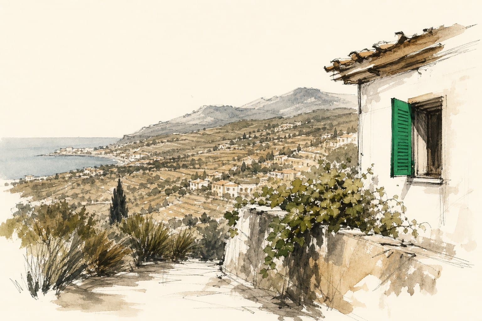
A single local report characterises Sierra de Escalona as a substantial forest mass, especially dense in ravines and shaded ground. It lists Aleppo pine, strawberry tree, kermes oak, mastic and dwarf fan palm among the vegetation. Those names suggest a Mediterranean landscape with texture: resinous pine, glossy evergreen leaves, dry slopes and cooler pockets where a ravine holds on to moisture.
Its value, the report says, is not confined to plants. Rabbits are described as an important food base for golden eagles and Bonelli’s eagles, while the area is said to be significant for the dispersal of young and immature birds. It also reports an important population of carnivorous mammals, including wildcat. None of this turns the hills into a zoo; quite the opposite. Such animals depend on distance, cover and a landscape that is not constantly made to perform for people.
The reported PORN also gathers several existing protective designations into one framework, including a bird-protection area, a site of community importance, the existing protected landscape of Sierra de Escalona and its surroundings, the Lagunas de Lo Monte municipal natural site, and the La Pedrera reservoir wetland. For a visitor, the lesson is simple: a map of “nature” is often a map of overlapping rules, responsibilities and habitats, not one neatly fenced reserve.
Who shares the boundary
Orihuela, San Miguel de Salinas and Pilar de la Horadada are named in the report as the park’s socioeconomic area of influence. That phrase sounds administrative, but it acknowledges something practical: the people living and working nearest a protected landscape are not extras in a conservation story. They are the ones who encounter changes in access, land management, public use and local expectations first.
The report says the Natural Park model was chosen because the area’s environmental and landscape value has been shaped historically through human interaction. This is a useful correction to the fantasy of untouched nature. Mediterranean landscapes are often mosaics, their character made through long patterns of use as well as through geology and rainfall. Protecting them means deciding which uses can continue, which must change, and who gets heard when those decisions are made.
According to the report, a future Plan Rector de Uso y Gestión will regulate public use, scientific research and other activity. The details are not supplied, so it would be premature to promise routes, restrictions or visitor facilities. For anyone considering a trip, that uncertainty is a reason to avoid treating the designation as a new attraction with a ready-made visitor manual. Check local access guidance before setting out, keep to authorised paths where they exist, and leave the urge to improvise a shortcut at home.
Learning to travel with a lighter footprint
Valencia’s region rewards a slower kind of curiosity. The city itself has gardens, beaches and the old Turia riverbed; beyond it lie wetlands, mountains, agricultural plains and small towns with different rhythms. The useful habit is not collecting them all, but noticing what sort of place you have entered and what it can reasonably absorb. Our guide to exploring the region is a starting point for building that instinct.
A newly protected area can attract attention precisely because it has been given a name people recognise. Attention brings benefits: interest in rural economies, stronger arguments for care, and a public that sees more than the shoreline. It can also bring noise, litter, informal parking and pressure on the very corners people came to admire. The report’s emphasis on sustainable rural development points to that balancing act, even before the practical management rules are known.
So keep Sierra de Escalona and the Dehesa de Campoamor in mind not as a box to tick, but as part of the long inland edge behind Alicante’s coast. If its reported protection holds, the measure of success will be quietly visible: ravines that remain shaded, birds that still find room to move, and neighbouring towns able to live beside a landscape without having to turn all of it into a destination.