At 8.28 in the morning, a traffic warning from Alboraia pointed to a queue leaving Avenida de la Horchata for the Alfauir roundabout: the North Ring Road tunnel at Avenida Hermanos Machado had reportedly been closed. It was a small line on a driver’s map, but it made a large point about Valencia. Remove one underpass in rain, and traffic does not simply wait politely above it; it pours into streets that were never designed to absorb everybody at once.
Reports described widespread tunnel and underpass closures as a precaution during an orange rain warning, with the aim of avoiding flooded exits and the far worse prospect of drivers trapped below ground. The barriers were reportedly removed after about an hour in many places, yet the queues continued for hours. That lag is the important part: a road network takes longer to recover than it takes to close.
For residents and visitors, the episode offers a better way to read the city on a wet day. Valencia can feel compact from a bicycle saddle or a pavement café. By car, though, its broad avenues, ring roads, railway crossings and buried passages operate as a chain. One missing link can turn a short school run or an airport-side approach into a long piece of improvisation.
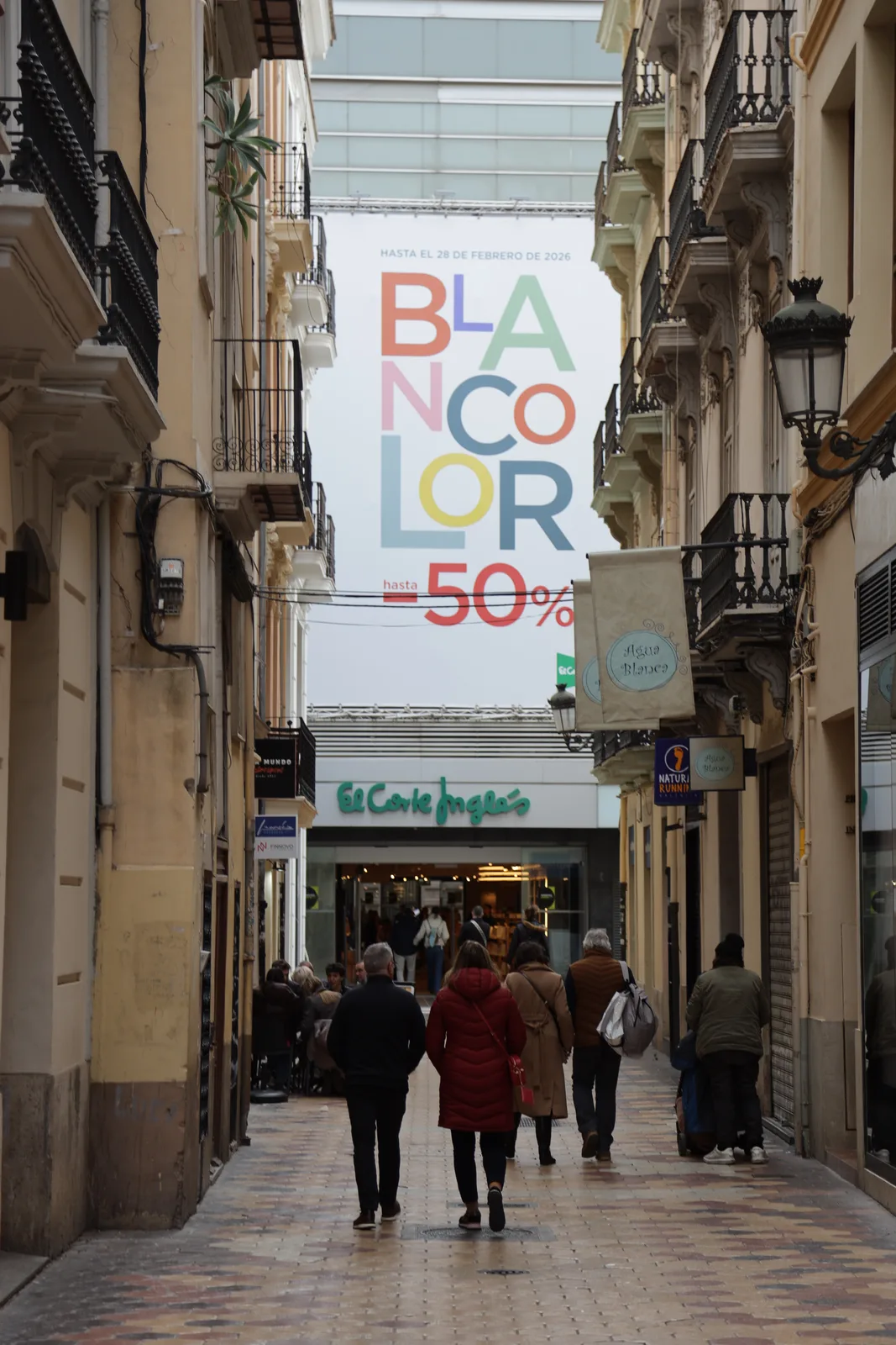
The tunnel is often the hidden shortcut
Underpasses do more than spare drivers a red light. They separate streams of traffic that would otherwise meet at surface level, allowing a roundabout, a railway approach or a major avenue to keep moving. When that separation disappears, every vehicle must negotiate the same visible crossroads, and the capacity of the street changes in an instant.
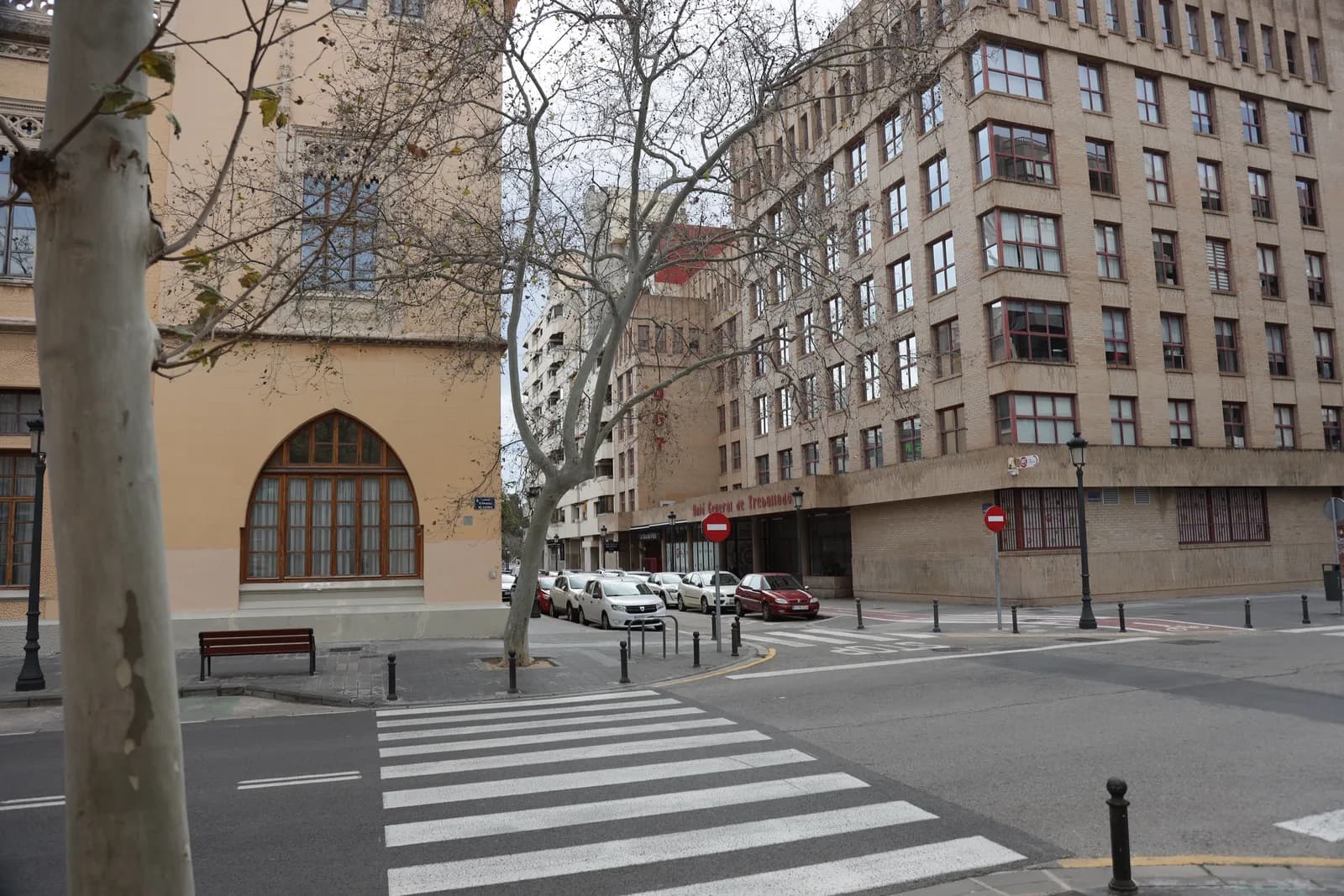
The reported disruption around Hermanos Machado spread beyond Valencia’s boundary into Alboraia, affecting Palmaret, Ronda Est and Botànic Cavanilles. That is a useful reminder that the northern edge of the city is not a hard edge in daily life. Commuters, school drop-offs and local errands move across municipal lines, particularly around the roads connecting Alboraia, Alfauir and the northern approaches.
It also explains why the disruption felt bigger than a local closure. A route that serves as a distributor does not carry only people headed for one neighbourhood. It carries people making decisions several turns earlier: whether to enter the ring road, continue toward the centre, or seek another entrance. Once hundreds of drivers make the same detour, the detour becomes the new blockage.
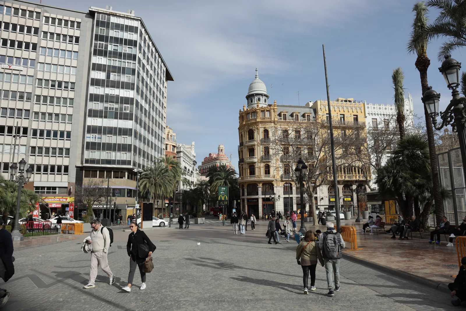
Surface streets inherit the queue
Reports placed another knot at Avenida del Cid, where the closure of a lower passage reportedly held up traffic arriving from the A-3 and fed congestion toward Tres Forques and Tres Cruces. Elsewhere, queues were reported on the routes around Peset Aleixandre, Primado Reig, Fernando el Católico and Ramón y Cajal. These are not interchangeable street names. Together, they sketch the arteries that connect outer approaches to the centre.
Avenida Constitución was reportedly jammed on the way into Valencia, while nearby streets in Tavernes Blanques were also affected. One driver described taking more than an hour for a journey that normally takes only minutes, after trying both the direct route and an alternative through Alboraia. The account is anecdotal, but the pattern is familiar: when the obvious escape route is closed, drivers seek the same second-best road at the same time.
There is a particularly awkward moment in this kind of gridlock: vehicles stop in the middle of a junction, the signal changes, and cross traffic loses its turn as well. Reports from the northern corridor also mentioned school buses caught across the flow. At that point the problem is no longer a single closed tunnel. It is a chain of blocked boxes, missed green lights and streets unable to clear themselves.
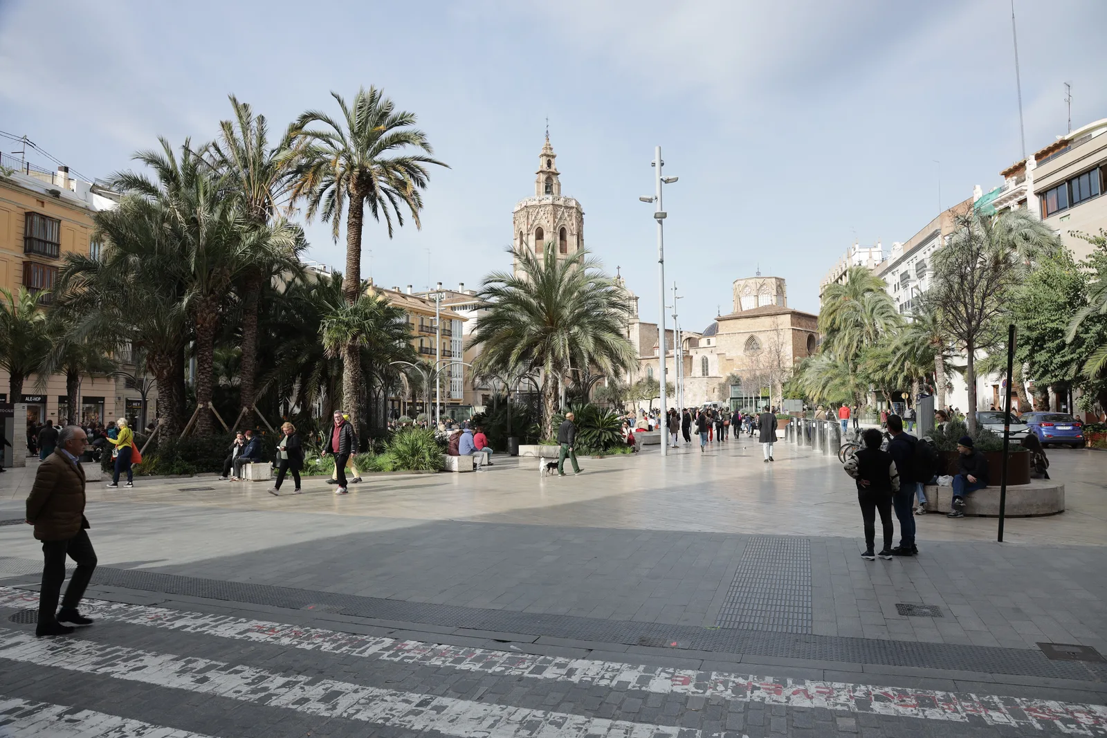
Why precaution can still feel punishing
Closing an underpass before water accumulates is easy to understand from the driver’s seat only after imagining the opposite outcome. A stalled car in a flooded lower road is not a normal delay; it can turn a route into a dangerous enclosure. Reports said the closures were intended to prevent drainage systems from being overwhelmed and vehicles from becoming trapped.
That does not make the surface consequences pleasant. The same reports said that two passages, at Germanías and Pérez Galdós, remained open because drivers lacked a surface alternative: one runs beneath the railway approaches to Estació del Nord, while works on Pérez Galdós limit the options there. The distinction matters. A closure policy is not simply about water; it is also about whether the street above can actually carry the journey below.
For someone new to Valencia, the lesson is less dramatic than it sounds. Rain warnings are a cue to reduce the number of timed commitments that depend on a car. Build slack into an airport transfer, school collection, medical appointment or train connection. If travel cannot wait, check conditions before leaving and be ready to abandon the most direct route without treating it as a personal failure.
Learning the city by its pressure points
Bad-weather traffic teaches a kind of local geography that guidebooks rarely offer. The map is not made of attractions but of pressure points: the northern ring road, the A-3 approach, the southern boulevard, the station approaches and the crossings that turn a short diagonal trip into a long loop when they are unavailable.
The reported rainfall varied across the city and surrounding area, with gauges cited in Benimaclet, Penya-roja and Patraix as well as around the Albufera. That unevenness is another reason not to judge a journey by the view from one window. A dry-looking street where you are standing does not tell you whether the next interchange, lower passage or approach road is operating normally.
Valencia rewards people who keep two mental maps: the pleasant one for ordinary days, and the resilient one for the days when a tunnel closes, a road works begins or rain changes the terms of the trip. The second map is slower and less elegant, but it is the one that makes the city feel manageable when the first route disappears.