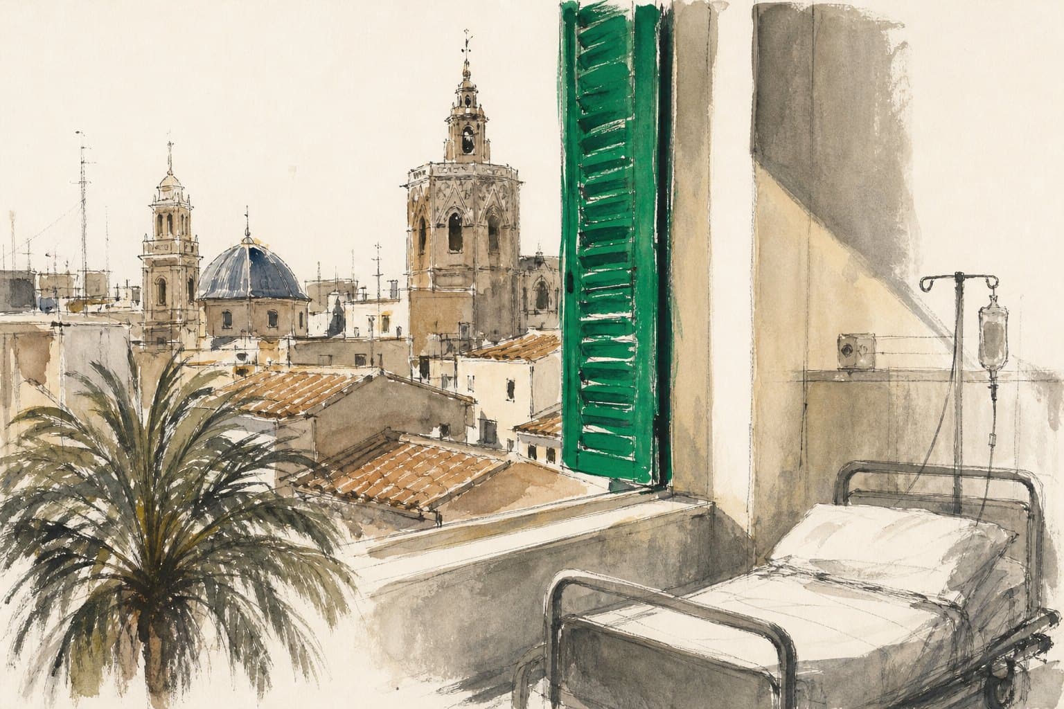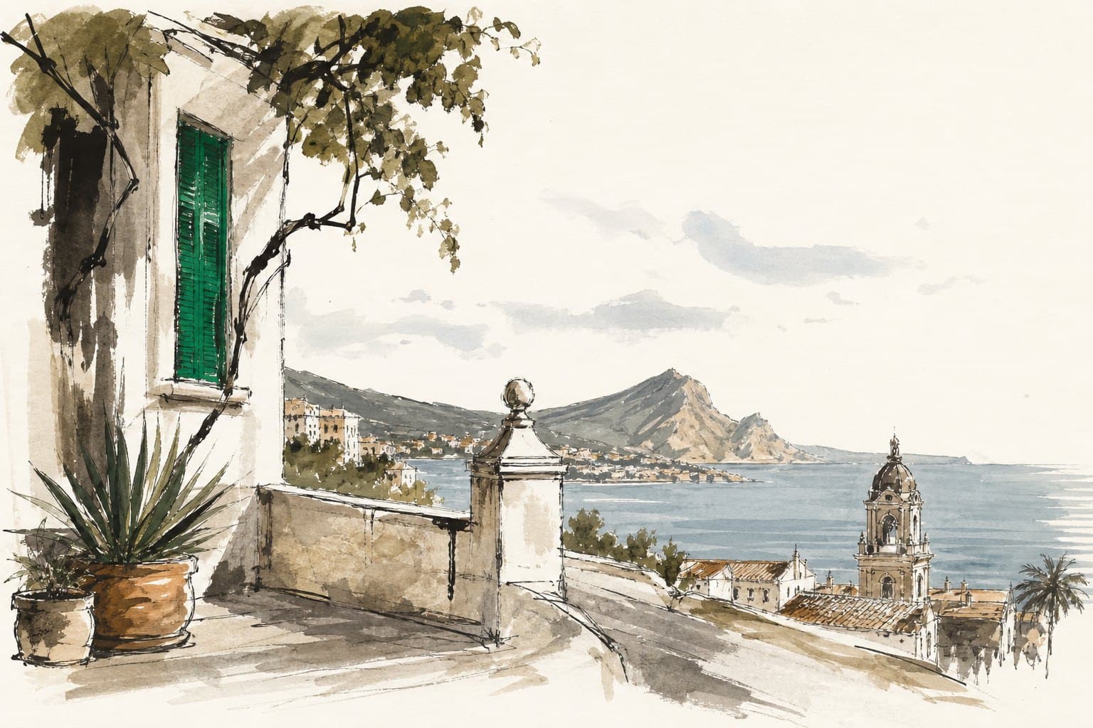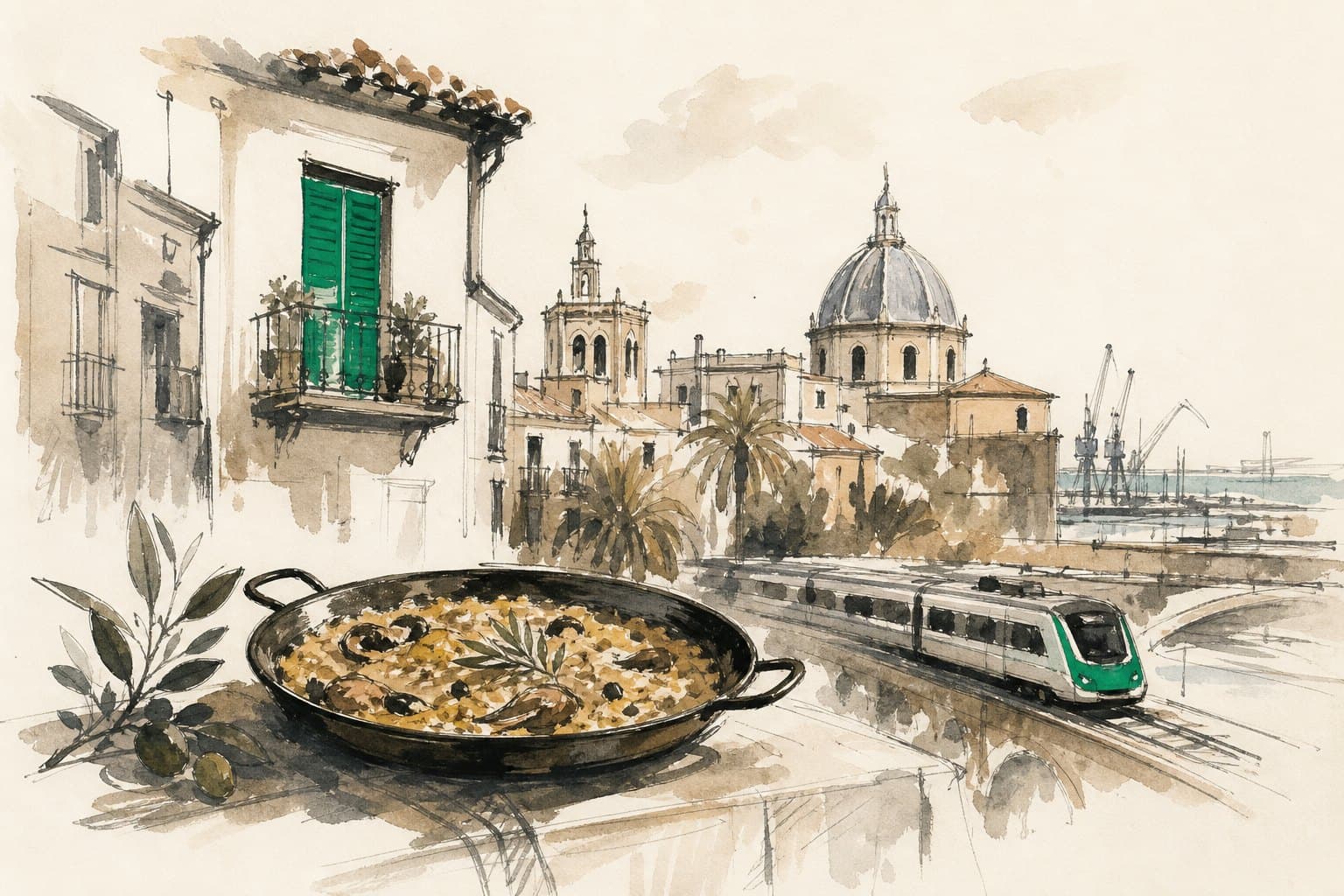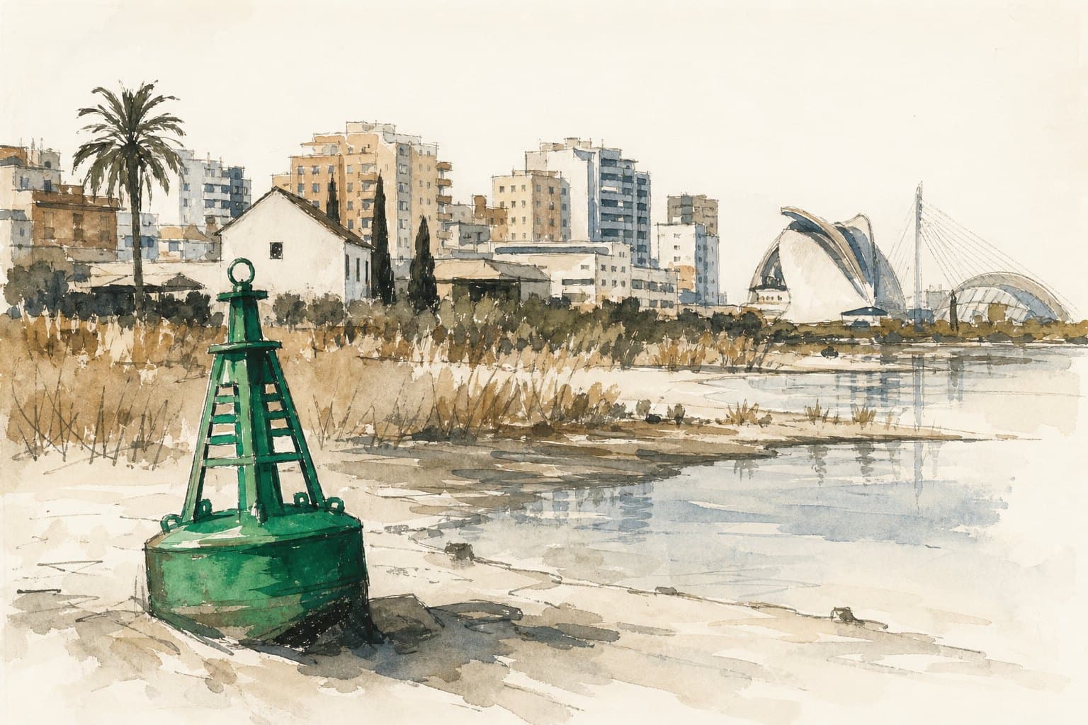
At the Valencia buoy, the Mediterranean reportedly reached 29.4°C during a summer of exceptional heat. That number belongs offshore, far from the tiled pavements and apartment blocks of the city, yet it points towards a very local fact: Valencia does not end at the promenade. Its southern edge, its port, its wetlands and many of its built-up lowlands live by the behaviour of water.
One assessment warns that sea-level rise, coastal retreat and heavier bursts of rain could put around 20 municipalities in the wider Comunitat Valenciana under greater flood pressure during the 2030s. It is not a useful prediction because it offers a dramatic map to stare at. It is useful because it explains why a downpour, a rough sea and a hot spell can no longer be filed away as separate bits of weather.
For people choosing a flat, planning a beach day or learning the geography of their adopted city, the important lesson is quieter. Valencia has always been shaped by watercourses, marshland and the sea. The modern city has added roads, paving and buildings to that landscape; water still follows the old logic when it can.
The low ground is doing a job
The Albufera is often introduced through its postcard qualities: rice fields, boats, birds and a wide sunset beyond the southern districts. The report describes it instead as one of several vulnerable coastal places, alongside the Salinas de Santa Pola and the Marjal Pego-Oliva. That is a useful correction. Wetlands are beautiful precisely because they are not fixed, dry ground waiting to be improved.
Marshes, river mouths and low-lying coastal land are naturally inclined to hold water. According to the assessment, these are among the places facing the greatest combined exposure from higher sea levels and intense rainfall. In ordinary language, they are where the Mediterranean and the land already negotiate daily; adding more water or more force to a storm makes that negotiation harder.
This changes the way to look at the road south from Valencia. The landscape around the Albufera is not empty space between the city and the beach. It is part of the city’s water infrastructure, whether or not it is described that way on a property listing. Its open fields and wet ground have a value that cannot be measured by how quickly they can be built over.
Concrete changes the route
The report cites Greenpeace’s view that extensive urban development has altered or removed some wetland areas, while sealing more soil. The practical issue is simple: rain that might once have soaked slowly into open ground has fewer places to go when surfaces are paved, roofed or otherwise impermeable.
That does not mean every wet street is evidence of a single cause, or that every building near the coast faces the same risk. It does mean that flood risk is shaped by choices at street level as well as by the sea beyond the sand. A drain, a planted verge, an unbuilt patch of ground and a basement entrance all belong to the same small geography when rain arrives fast.
For renters and buyers, the useful habit is less glamorous than admiring a terrace: ask how water moves around a building. Look at the level of the entrance, the presence of underground storage or parking, and the feel of the surrounding streets after rain. It is also worth learning the broader setting of any address, especially in a city where the coast, old river landscapes and dense neighbourhoods sit close together. Our guide to Poblats del Sud is a starting point for understanding the territory beside the Albufera.
Storms arrive through more than one door
The assessment links Valencia’s exposure to both sea-level rise and the intense late-summer and autumn rain episodes often called DANAs. These are different mechanisms, but they can compound one another. A high sea can make drainage more difficult at the same moment that a violent downpour is sending water across hard urban surfaces.
Warmer seawater is also reported to supply more moisture to the atmosphere, potentially intensifying rainfall. The report projects, under a moderate climate scenario, a sea-surface warming of between 0.5 and 1°C for 2026–2045 and mean sea-level rise of up to 0.25 metres. Those figures are not a timetable for panic; they are a reminder that the everyday background conditions for a storm can change before any individual storm appears.
There is a human scale to this. A visitor may only notice that the sky turns dark over the city and that outdoor plans suddenly become impossible. A resident may be thinking about the scooter left in a garage, the route home, the ground-floor shop or a family member in a low-lying town. Good local knowledge includes knowing when weather deserves more respect than a glance at a forecast.
A coast is not a line on a map
The report says the Mediterranean could rise by 15 to 33 centimetres by 2050, depending on greenhouse-gas emissions, and identifies the Port of Valencia among key infrastructure exposed to coastal regression. Numbers in centimetres can sound modest when read at a kitchen table. At a shoreline, however, the question is not merely how high the average water becomes, but what happens when that higher baseline meets waves, wind and a storm surge.
That is why the city’s future cannot be reduced to a contest between sea views and sea walls. Ports, beaches, rice-growing land, transport routes, homes and protected wet places occupy neighbouring strips of coast. Their needs will not always point in the same direction. The durable civic task is to understand those trade-offs before the water makes the decisions in a hurry.
Valencia remains a city where people can cycle towards the sea, eat beside a former riverbed and reach the Albufera in the same day. That closeness is one of its great pleasures. Keeping it pleasurable will depend on treating water not as scenery at the edge of town, but as a neighbour whose routes deserve room.